
eFuelution was commissioned by RVO (Netherlands Enterprise Agency) to develop a spatial planning study for the onshore infrastructure needed to support green hydrogen and e-fuel production in Curaçao. This builds on the 2023 feasibility study by TNO, which explored the potential for Floating Offshore Wind and hydrogen economy scenarios for the island.
The Assignment
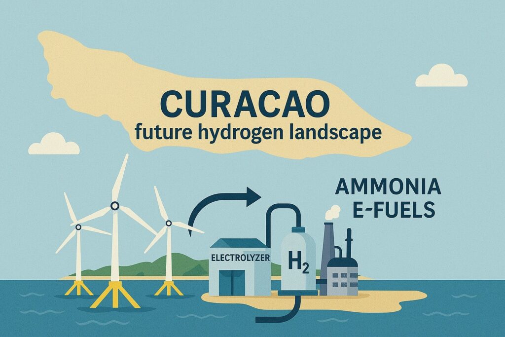
The core objective of the study was to translate three development scenarios of 1 GW, 5 GW, and 10 GW of floating offshore wind capacity into a conceptual spatial blueprint for the onshore facilities needed to process renewable electricity for local use and into hydrogen. The hydrogen can be further processed into methanol, sustainable aviation fuel (SAF) and ammonia. The work included defining land area requirements for electrolysers, hydrogen storage, chemical synthesis plants, and export infrastructure, while also considering integration into the existing industrial zones. Just to be clear, the actual assignment of the facilities at any potential location is outside our scope and will be handled by the Parties on Curaçao.
Key results:
In the 1 GW scenario, the study found that all required infrastructure could be accommodated within the island’s existing industrial zones. Electrolyser and ammonia production facilities were placed in Bullenbaai, while the waste-to-methanol plant was proposed at Malpais. The land demand in this scenario is relatively modest and aligns well with current land use and future development plans.
In the 5 GW scenario , the same locations remain viable, but the increased scale requires a significant expansion of land use. Hydrogen and ammonia production would continue at Bullenbaai, while additional production of SAF is envisioned at Schottegat.
In the 10 GW scenario, Bullenbaai would be fully utilized for hydrogen and ammonia production. Additional facilities—including eMethanol and eSAF production—would need to be sited in Schottegat. At this scale, coordinated long-term spatial planning becomes essential to manage overlaps with other parties and ensure safe and efficient integration of all infrastructure components.
Safety played a key role throughout the assessment. Given the hazardous nature of the products, especially ammonia, the layouts include conceptual safety buffers in accordance with local guidelines. Land use estimates carry an expected uncertainty of ±30% and should be refined in further phases.
The study focused on three main locations: Bullenbaai, Schottegat, and Malpais. However, additional areas emerged as potential candidates during stakeholder discussions and are recommended for further exploration.